Autobahn Hamburg - Berlin (A 24)
The Autobahn from Hamburg to the Berlin Ring-Autobahn is about 239 km long. Construction started in 1935 on a short 7 km long section from the central Hamburg exit (at the western end) to a junction with the Autobahn to Lubeck. This section was opened in 1937, together with the Lubeck autobahn. Where those two roads met the junction "Hamburg-Ost" was built, but as of 1937, only two of four directions were opened for driving (north and west). South of the junction an autobahn bypass of Hamburg was planned but construction wasn't started before WW II. (this section opened in 1963). East of the junction construction started on about 50 km in 1938/1939. Many bridges were finished, and ground work was well underway before work was stopped completely in 1942 because of WW II.
After WW II the political situation was completely different and the A24 had become a "inter-country" road between east and west Germany. Because of East Germany's bad financial situation it wasn't possible to complete this road for a long time. Finally a treaty was signed in the 1970s and West Germany helped East Germany build the complete autobahn from its western border to the Berlin ring autobahn. The autobahn in east germany had a different route than it was originally planned in the 1930s, but no work was done before WW II on this part anyway. In West Germany about 90% of the original route was kept (and with it many old bridges).
In 1976 construction started. A short 3,7 km section from the Hamburg-Ost junction to exit "Reinbek" was opened in 1978, but the main part of the autobahn including the west and east german border stations was opened for traffic in 1982.
In 1990, after the wall came down and german unification took place, the border stations were closed and demolished.
The following photos were made in the west german part of this autobahn. The series starts at the western end in downtown Hamburg and ends at the border crossing to East Germany. All photos were made before 1990. The images are about 3.5 MB big (together), so please be a little patient for the page to load.
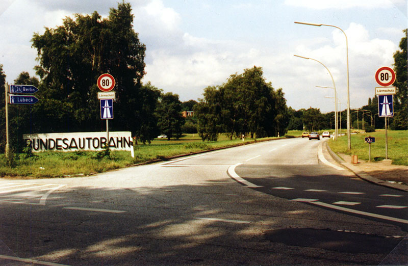
The A24 starts in downtown Hamburg. Photo: W. Jäger, July 1987.
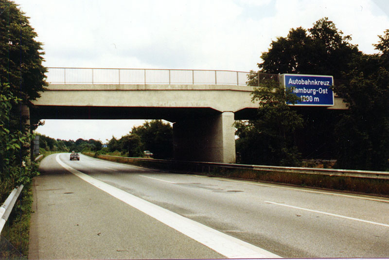
The Junction Hamburg-Ost is announced. Photo: W. Jäger, July 1987.
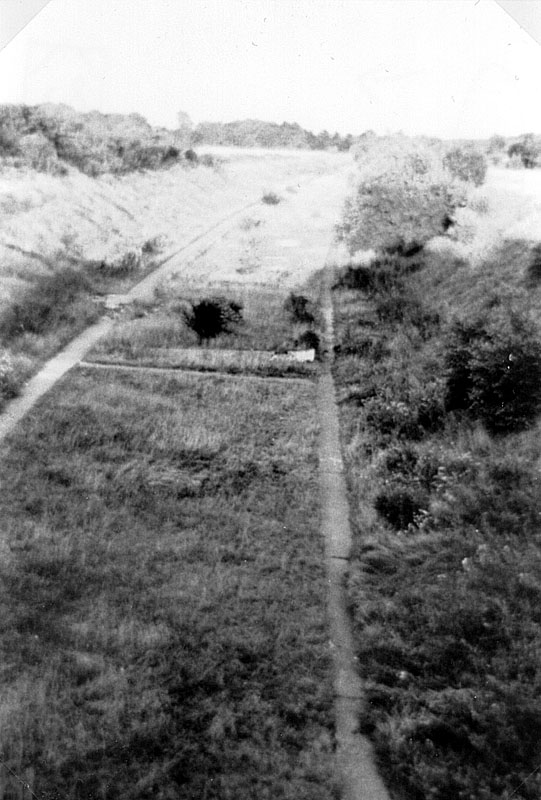
View from a bridge of the Hamburg-Ost junction eastwards in 1959.
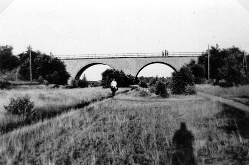
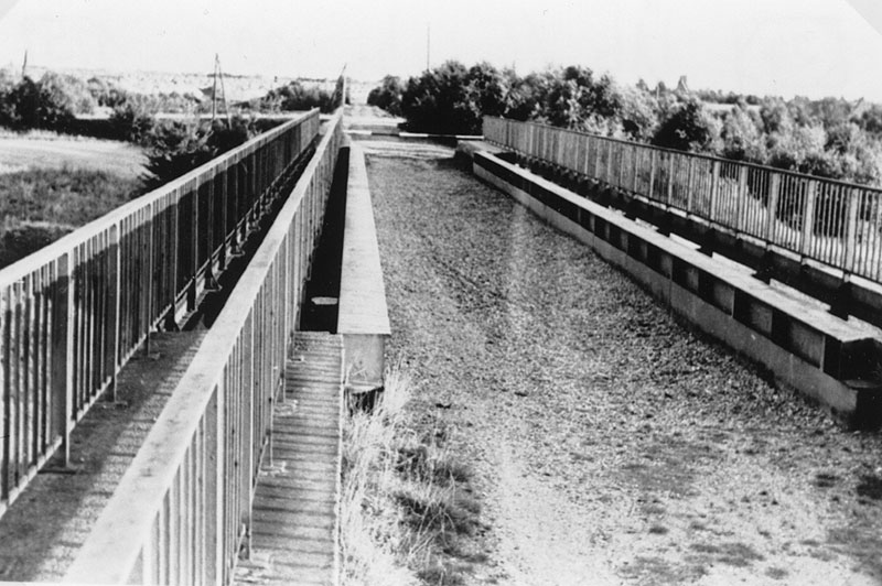
View of bridge 13 (Willinghusen - Oststeinbek) 1959.
Eastward view from this bridge.
View on Bridge 14 (Willinghusen - Glinde) in 1959. On some sections the concrete work was already finished on one side.
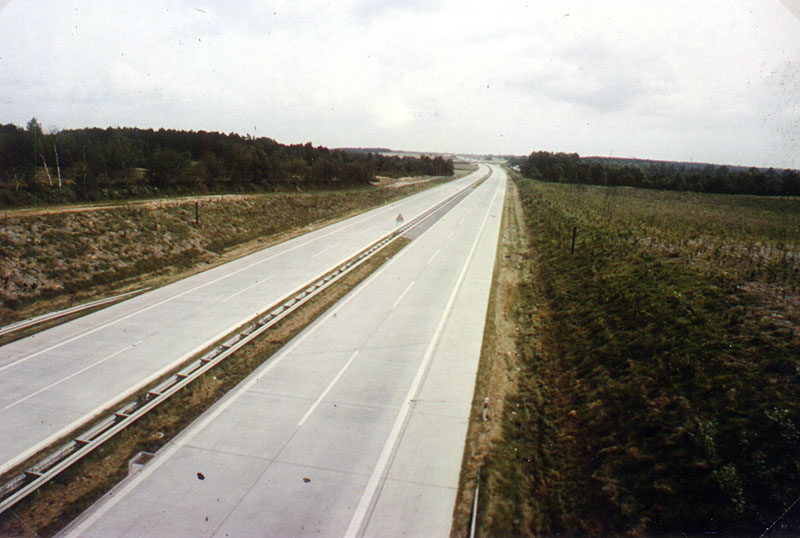
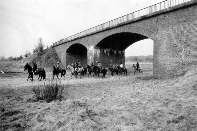
View of bridge 15 (Willinghusen - Glinde) in 1959. The unused concrete ground was used as a test track for road markings.
View of this bridge in 1976. Construction has already started.
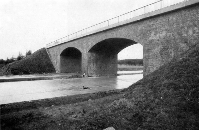
View of this bridge in 1978, when the first A24 section east of Hamburg-Ost was opened.
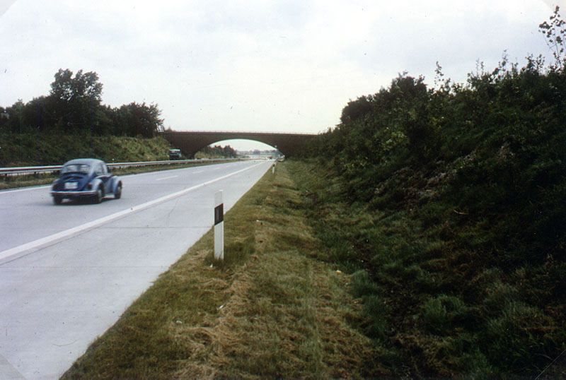
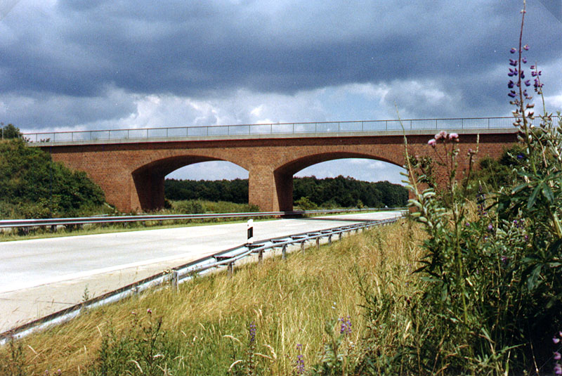
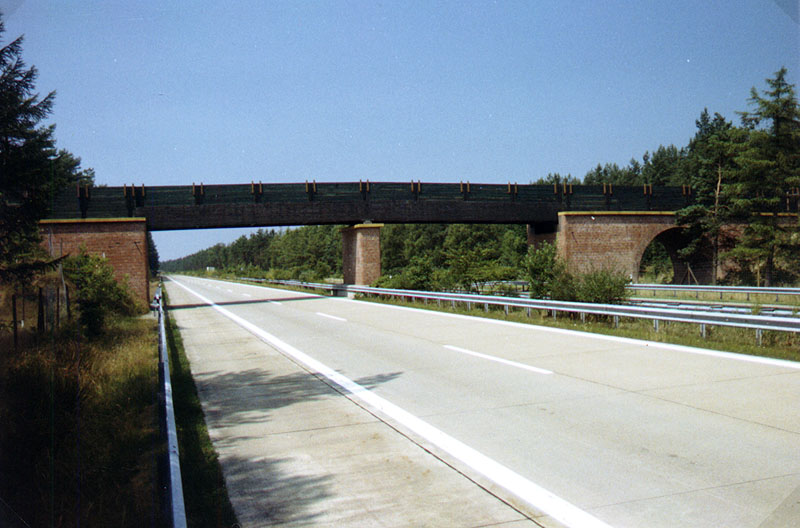
A closer look at bridge 15 in 1987. (Photo: W.Jäger)
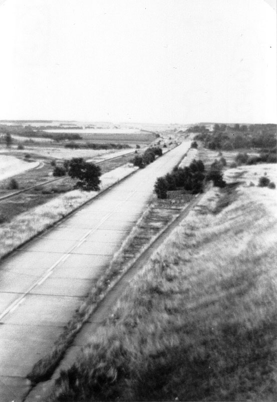
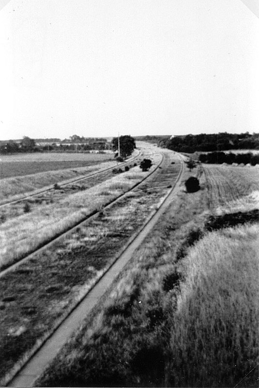
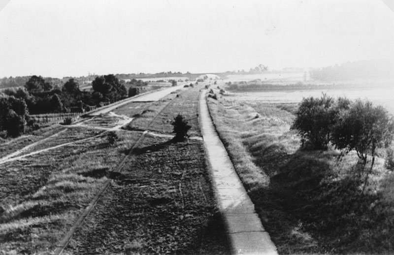
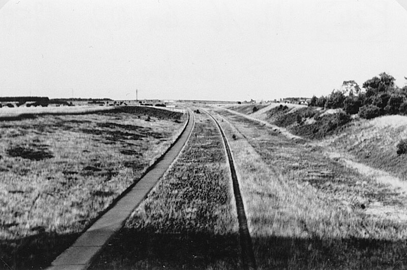
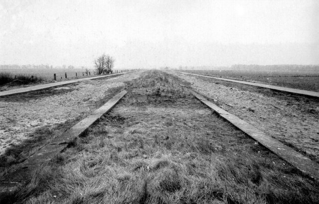
View from this bridge eastwards in 1959. An exit was planned here before 1945, but plans were given up after the war.
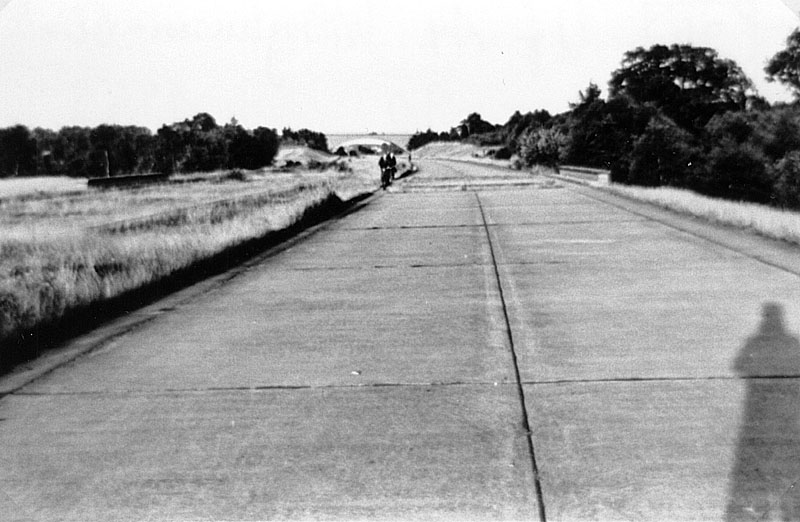
The same view in 1976..
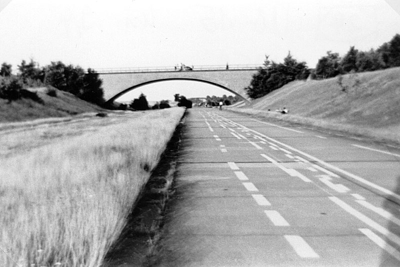
...and in 1978. The rest area was not built.
View of bridge 16 (Stellau - Glinde) in 1959.
View on bridge 16 in 1959.
View of bridge 16 westwards in 1959.
View of bridge 16 eastwards in 1959.
View of former bridge 18 (Stemwarde - Neuschönningstedt) in 1959. This bridge was later demolished and in 1977 an underpass was built instead of it.
View from bridge 18 westwards (1959)
View from bridge 18 eastwards (1959).
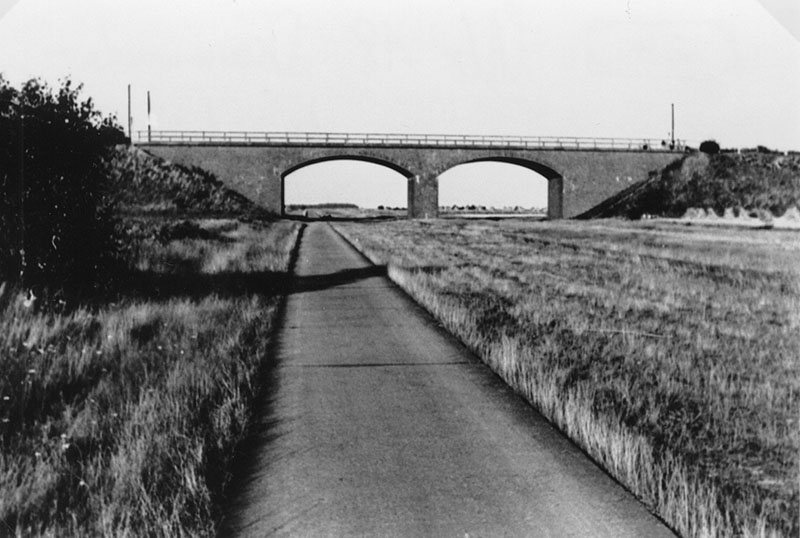
View from the ramp of bridge 18 westwards in 1976.
The same view in 1978.
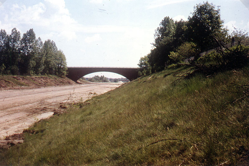
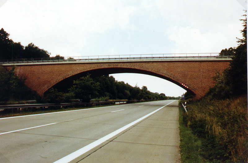
The new bridge 18 (Photo: W. Jäger, 1987). The old overpass ramp can be seen to the right.
View eastwards 300 meters east of bridge 18. Photo: D. Meyer-Gürr, 1980.
Bridge 19 (Kronshorst - Ohe) in 1980. Photo: D. Meyer-Gürr.
Bridge 19 in 1981. Photo: D. Meyer-Gürr.
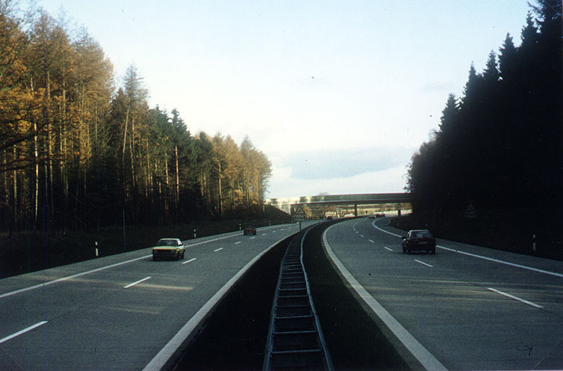
Bridge 19 in 1987. Photo: W. Jäger.
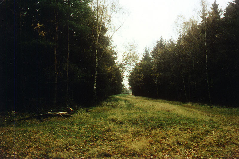
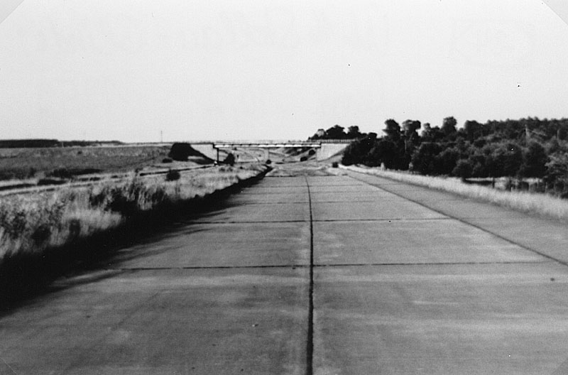
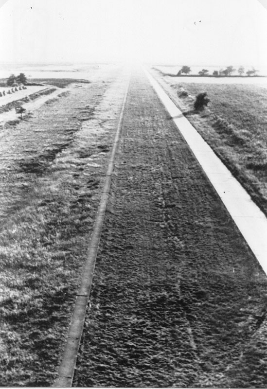
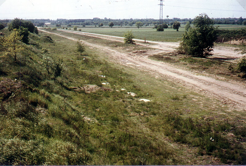
View on the road eastwards, 7 km east of Bridge 19 in October 1980. In this section, just some trees were cut in the 1930s.
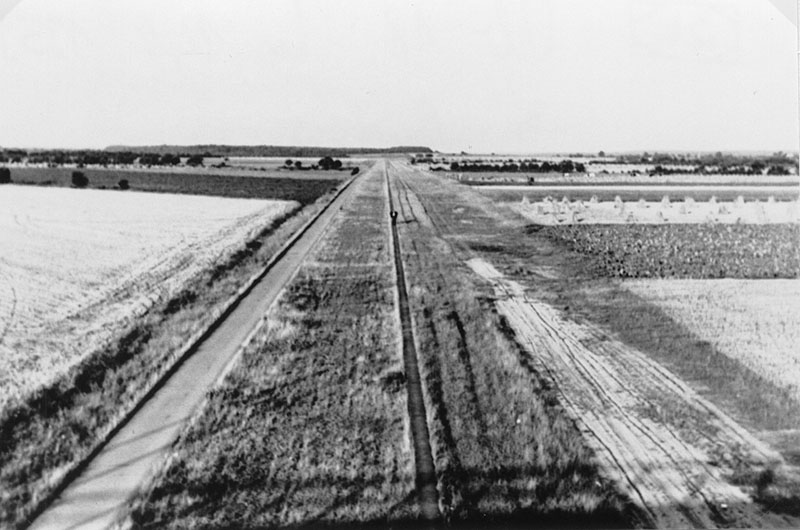
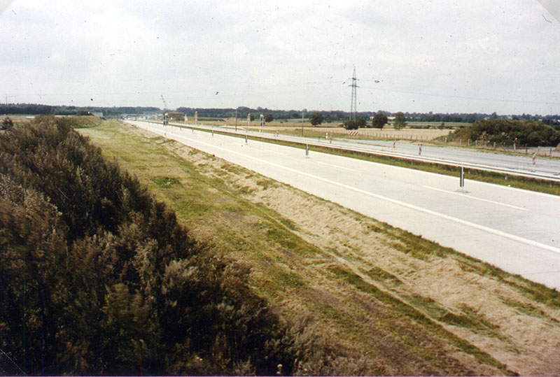
The same spot in October 1982.
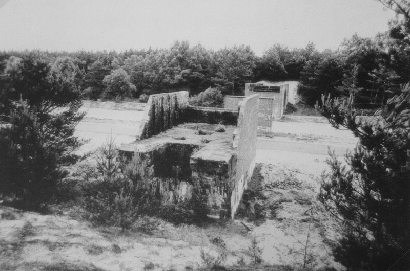
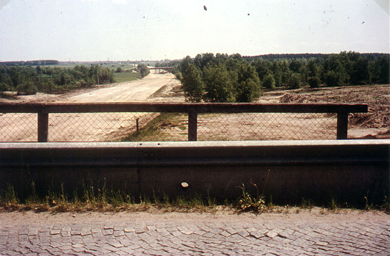
View of unfinished Bridge 56 in 1982.
Bridge 56 in 1982.
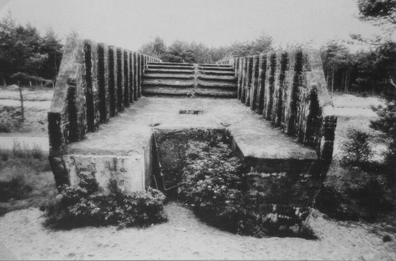
This bridge was changed to a path for crossing game animals. (Photo: W. Jäger, July 1989)
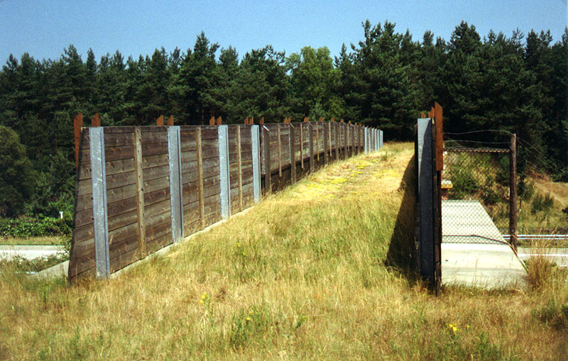
View on bridge 56. (Photo: W. Jäger, July 1989).
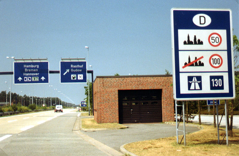
View on the A24 westwards just a few hundred meters west of the border crossing. At every international border, this sign informs drivers about german speed limit regulations. The blue 130 means "recommended speed". (Photo: W. Jäger, 1989).
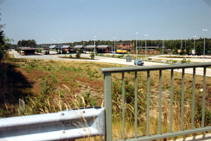
View of the west german border station. The east german station was a lot bigger. (Photo: W. Jäger, 1989).
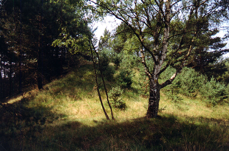
Ramp for a bridge that was never built because of the nearby border. (Photo: W. Jäger, 1989).
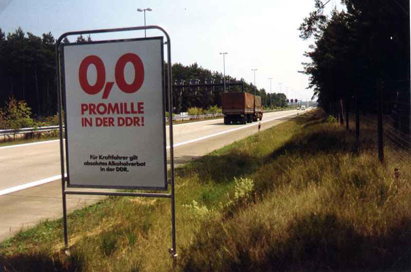
View on the A24 eastwards shortly before the border. The sign informs drivers about the strict regulations concerning driving under alcoholic influence in East Germany.
You can see photos of the east german border station at http://home.t-online.de/home/grahnert/foto-89.htm